Tata, our trip to the gates of the desert
Trip from Agadir: 4 hours 20 mins / 255 km
Our friends have promised us a trip off the beaten track and still very authentic. These two pre-Saharan municipalities located on the Jbel Bani chain were points of exchange between the Amazigh tribes and the nomadic tribes.
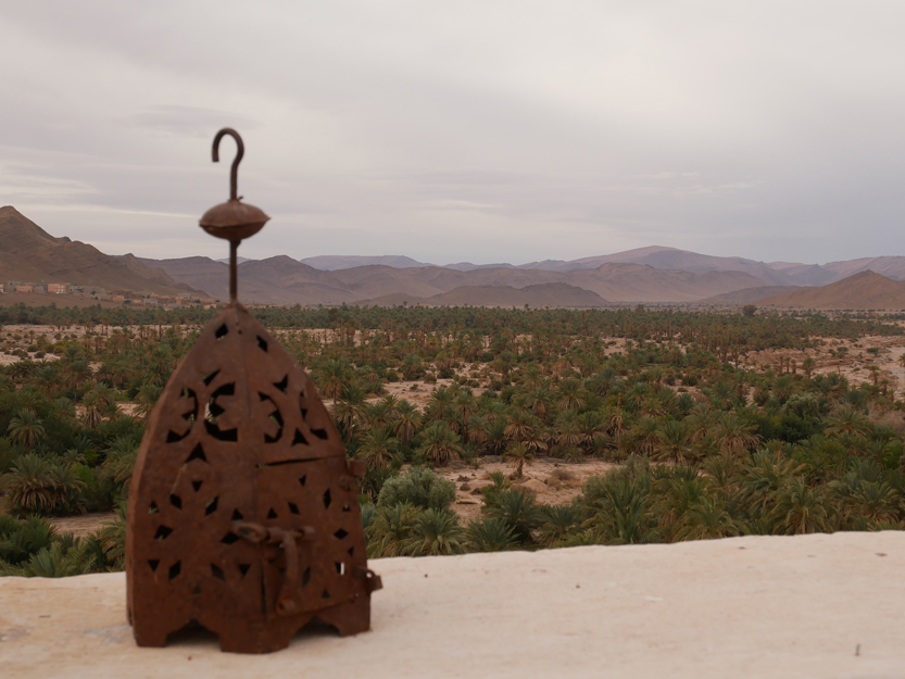
Charles de Foucault, the explorer – geographer, described the Jbel Bani chain as a barrier to another world (Sahara) and the oases of the region its gates.
We decided to make a loop stretching over 3 days by way of Igherm (in the heart of the Anti-Atlas) – Tata – Akka and back to Agadir. The 1st day, our route takes us through Igherm, to reach the town of Tata 260 kilometers away. From Agadir, we head in the direction of Taroudant, then in the direction of Igherm via the R109 at the point: (30.482427, -8.757763).
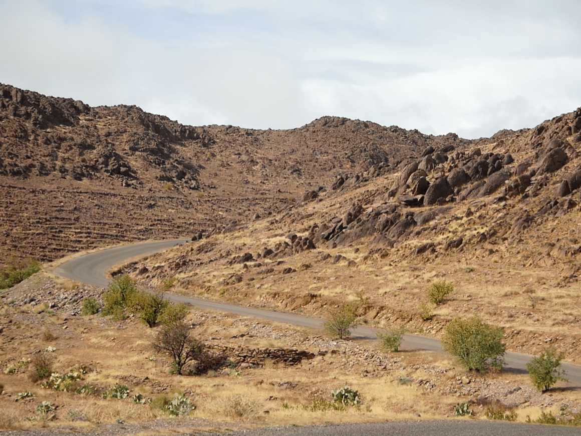
The road is superb and offers picturesque landscapes of the Anti-Atlas. In the center of the small village of Igherm, we take the opportunity to enjoy a mint tea break before taking a secondary road on the left (30.087269, -8.460331) towards Tleta Tagmoute.
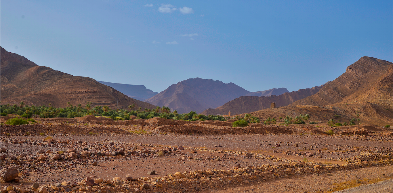
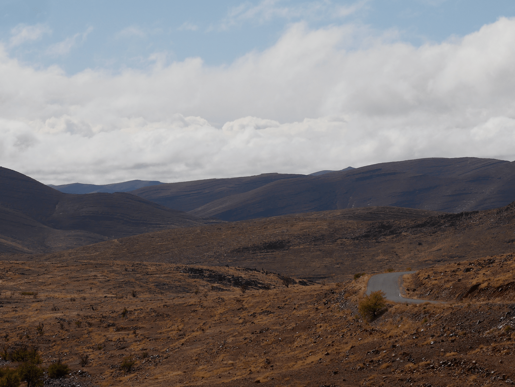
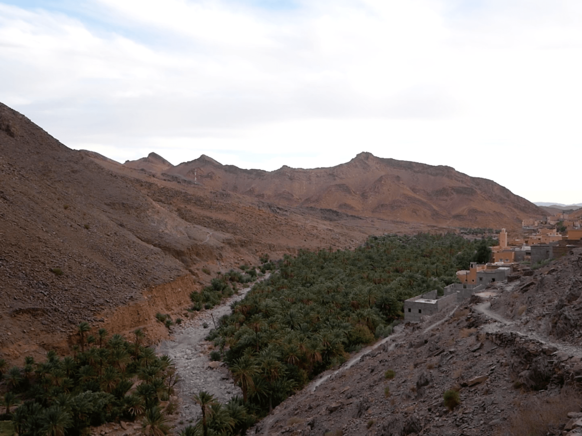
After crossing beautiful high plateaus, the road slowly descends in zigzags with a panoramic view of a dry river bed. From the village of Mendassene (30.033405, -8.312451), we begin to see several villages and oases which follow one another until the large oasis of Tleta Tagmoute.
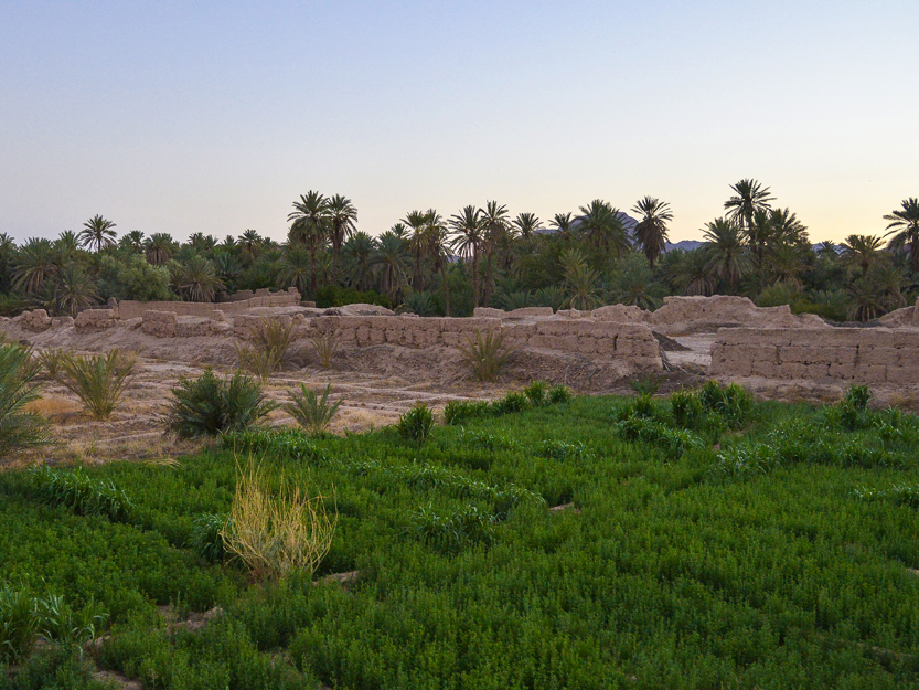
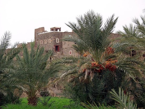
We stop upstream of the Oasis to walk in the palm grove via the access paths to the plantations. The place is calm and relaxing. The palm grove is crisscrossed with canals (called séguias) which irrigate each square and guide you through the visit.
We then notice that the date palms are home to all kinds of fruit trees which themselves shelter the sown cereals, vegetables and alfalfa.
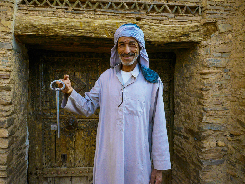
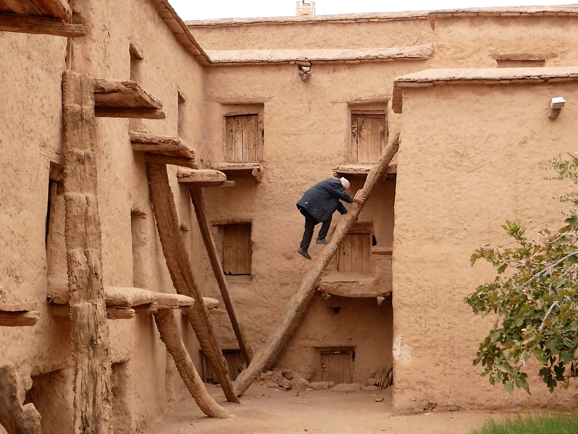
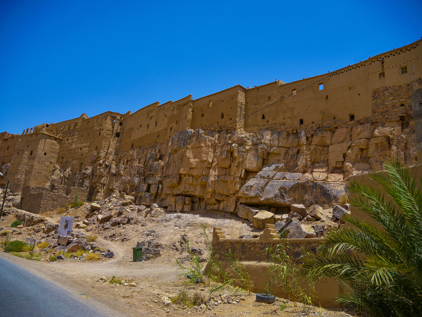
After this walk, at the exit of this oasis, we turn left (29.963700, -8.233020) to visit the village of Ait Kine famous for its collective granary (30.024265, -8.181924) magnificently restored. We are surprised to see that the inhabitants still use it.
It is, in fact, the village bank! We take the opportunity to visit a very beautiful traditional house (architecture typical of southern Morocco) Dar Morabtine.
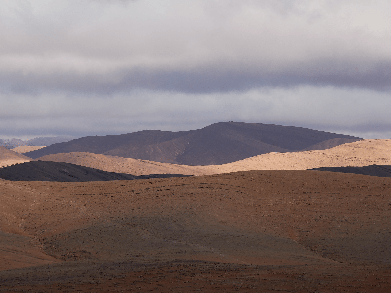
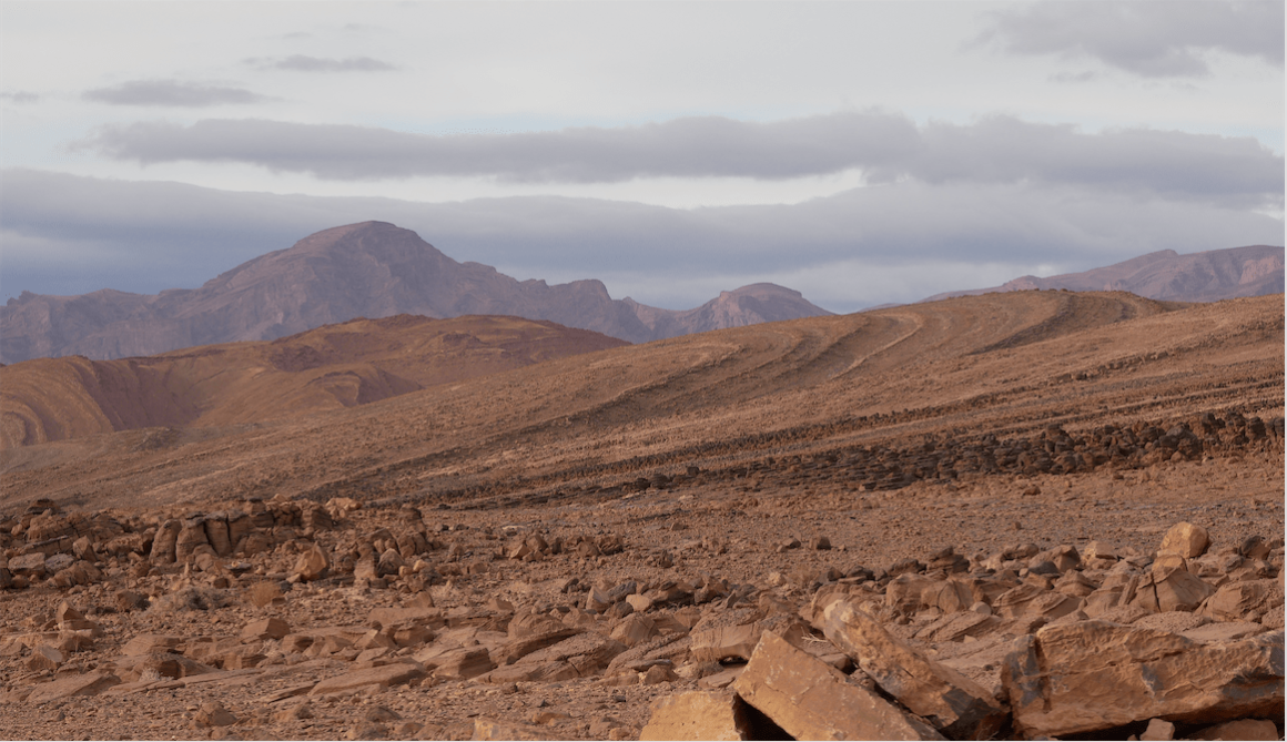
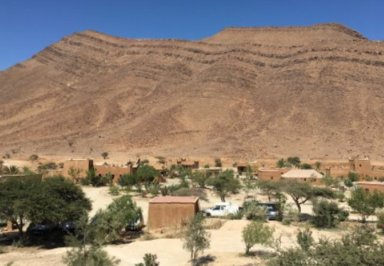
We take the road to Tata, the beauty of the surrounding mountains is striking. We arrive there at the end of the day, for the sunset over the palm grove. The 2nd day, we are invited to explore the Palm Grove of Agadir Lhena.
Easy to find, northbound and at point 29.774574, -7.978210, we take the small road on the left until the end of the village. During the walk in the palm grove, we observed the famous water clock (clepsydra) still used to manage the water between the plots of the oasis and observed the ancestral system of khettaras – water collection channels.
In the afternoon, we head towards the Agouliz gorges 30 km away on the Imitek road for a beautiful walk (29.740178, -8.190136) on the mountainsides for 1 hour and a half.
An inhabitant of the village, very kindly, offers to accompany us and gives us a complete visit to the end of the gorges. Return to Tata.
On the 3rd day, we head to Akka. There are plenty of choices for stopping on the way: Mellah of Tazarte (former Jewish village: 29.663672, -7.939114), rock engravings in Oum El Alek (29.370880, -8.200778). Do not hesitate to ask for help to find them. Once we arrived at the Akka oasis, we took a right to visit Agadir Ouzrou, a restored fortified village (29.419353, -8.247884) built on a cliff.
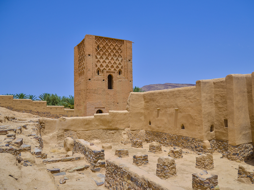
We take advantage of the Ait Rahal palm grove to discover this almost miraculous oasis life. The calm and relaxing place is like a postcard. We take the road north after seeing the minaret of the old mosque “Lalla Baytou Allah” of the Kasbah of Agadir Amghar (29.435656, -8.266981).
Just before the oasis of Imitek, we see areas of rock-karst resembling mushrooms or fingers, long photo shoot. Then we went up towards Igherm, where we went left Ait Abdellah until Tighrman (29.874978, -8.722428) and where we found a road on the right (1723) for Taroudant.
A few kilometers away we were able to stop to see one of the most beautiful collective granaries in the region: the Agadir Tasguent (29.913746, -8.745350) dominating the whole plain. After the visit, the return to Agadir was done slowly by way of Imi Mqourn.


