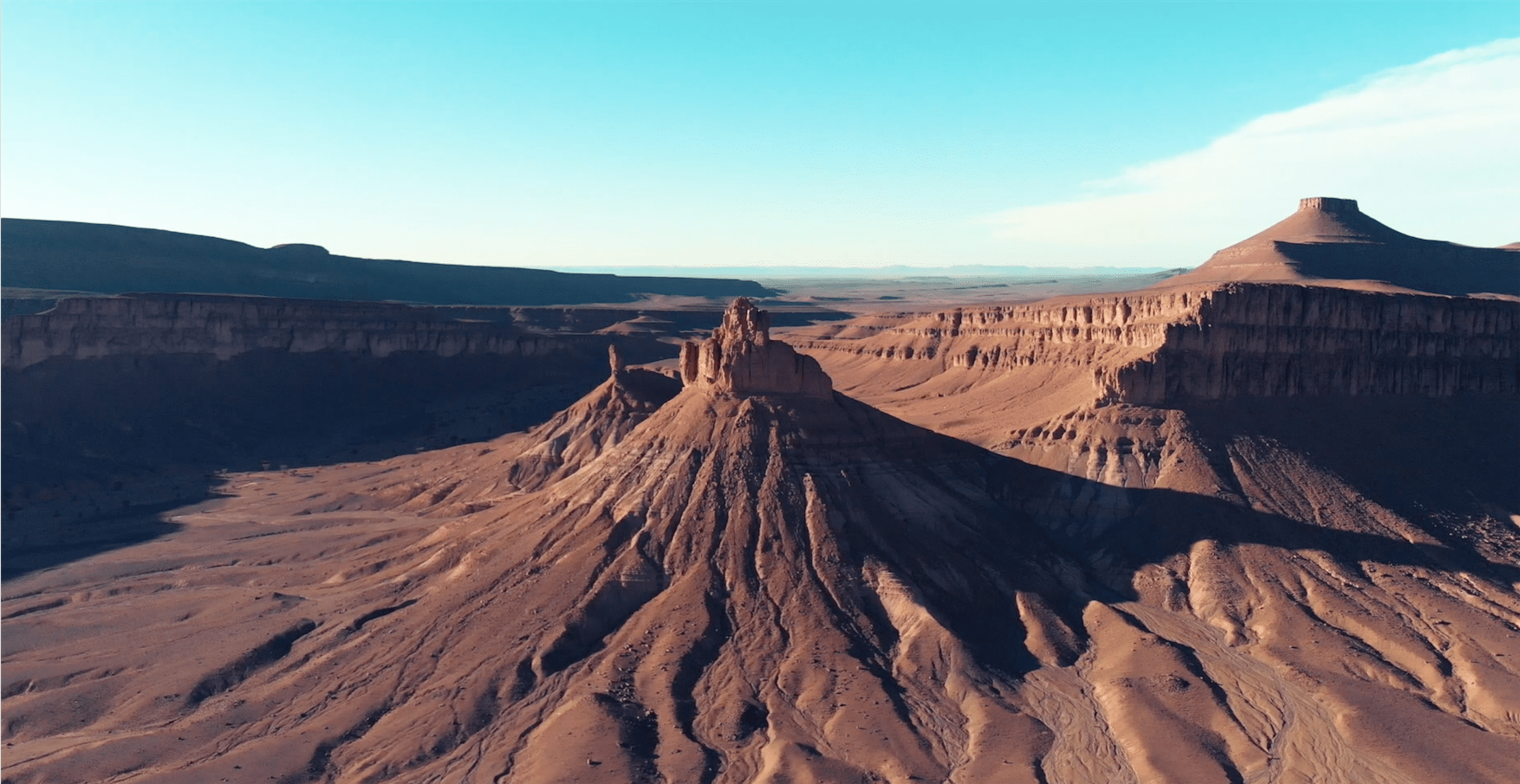
Iriqui National Park
Trip from Agadir: 7 hours
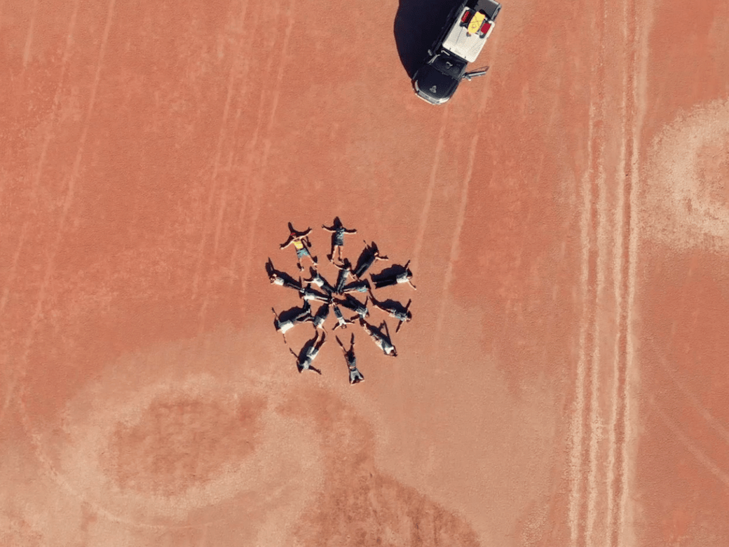
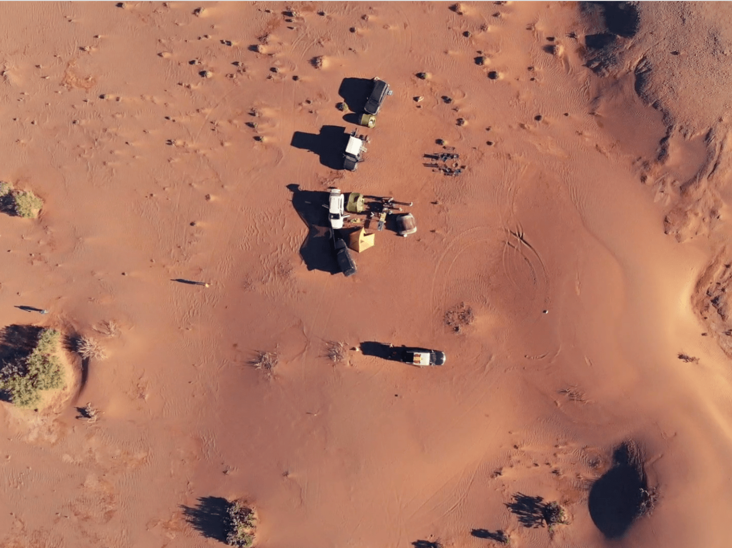
Lake Iriqui looks like a huge, flat, dry expanse stretching for miles. A few camps are spread over the Park and there is the possibility of doing some shopping. The comfort is rudimentary for a bivouac but the experience is unique. The desert landscapes of the National Park are representative of southern Morocco: steppe, acacias, tamarisk …
Lake Iriki is, today, most often dry but can, during rainy periods, be temporarily covered with a few centimeters of water. During the rainy season, migratory birds can stop off and it is then possible to observe pink flamingos and wild geese. After a rainy period (October, November, December), beware because the lake can become a trap for vehicles due to muddy conditions.
How to get there:
From Agadir, head in the direction of Akka Ighane (29.838782, -7.499735) then at the intersection with the N12, turn left towards Tissint -Foum Zguid to join the Iriqui National Park which can be reached via the trail starting at point (30.060216, -6.869288). You leave the pavement for a stony path along the Jbel Madouer Kbir and Sghir to reach Lake Iriqui which is located between the towns of Foum Zguid and M’hamid El Ghizlane. Book your bivouac in the National Park to spend the night there.
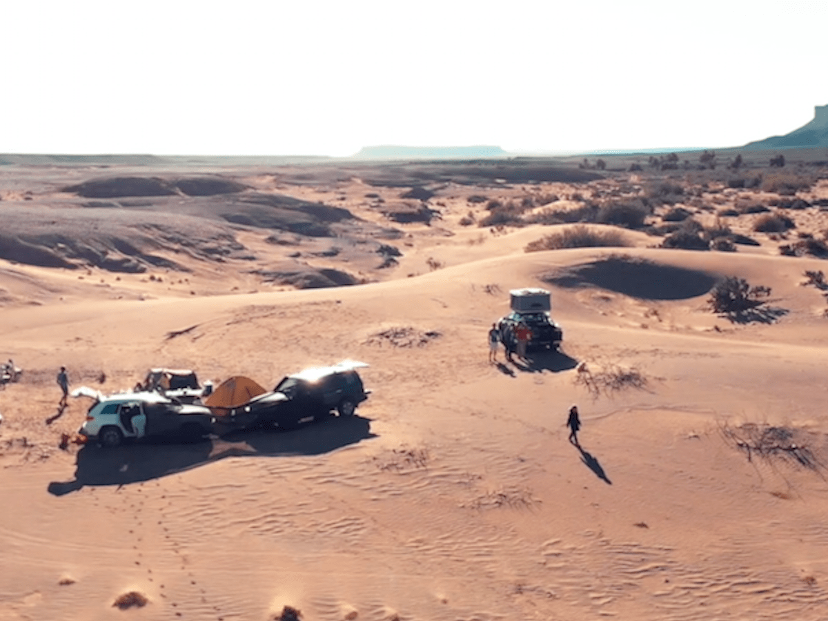
The next day, you will head towards Erg Chegaga where some dunes, measuring around 50/60 meters, will be found. Go towards M’Hamid by a trail between the dunes and the tamarisks where it will be essential to have a good 4×4 vehicle. You can also be accompanied by a guide. In M’Hamid, you will find the paved road. The crossing takes 5 to 6 hours.
Activities:
- 4×4 trails
- Bivouac
- Walk in the dunes