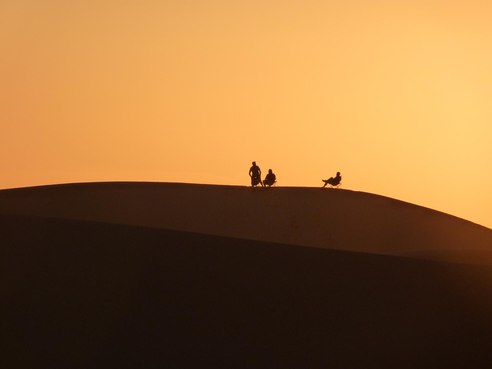
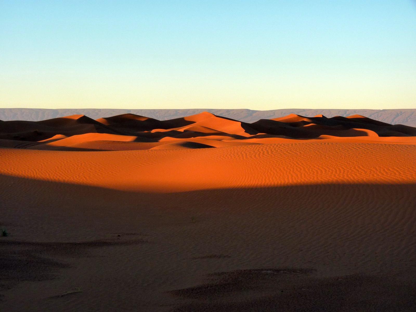
The crossing of the park is generally made from Foum Zguid to M’hamid. A 4×4 vehicle is compulsory for Iriqui National Park, as the route consists of a stony trail, an area of dunes and a dry lake.
The map on the right allows you to download a gpx file corresponding to the Foum Zguid – M’hamid crossing. Plan ahead to contact a camp in the Park to organize a bivouac .
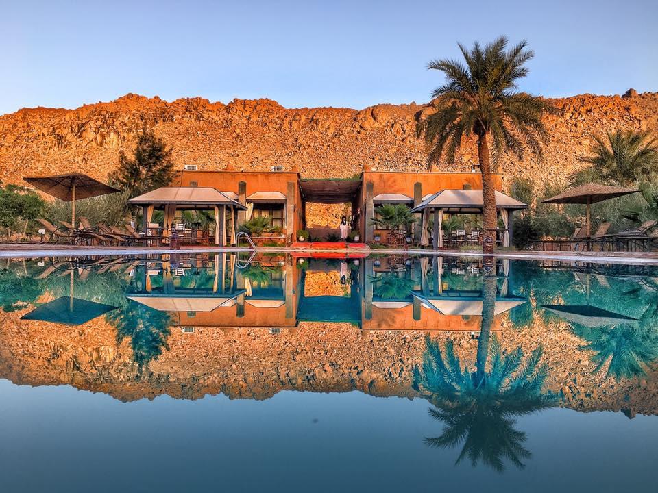
Iriqui National Park
Iriqui National Park
Iriqui National Park
How to get there:
From Agadir, head in the direction of Taroudant – Taliouine and Akka Ighane (29.838782, -7.499735) then at the intersection with the N12, turn left towards Tissint – Foum Zguid to reach the Iriqui National Park which you can find via the track starting at point (30.060216, -6.869288).
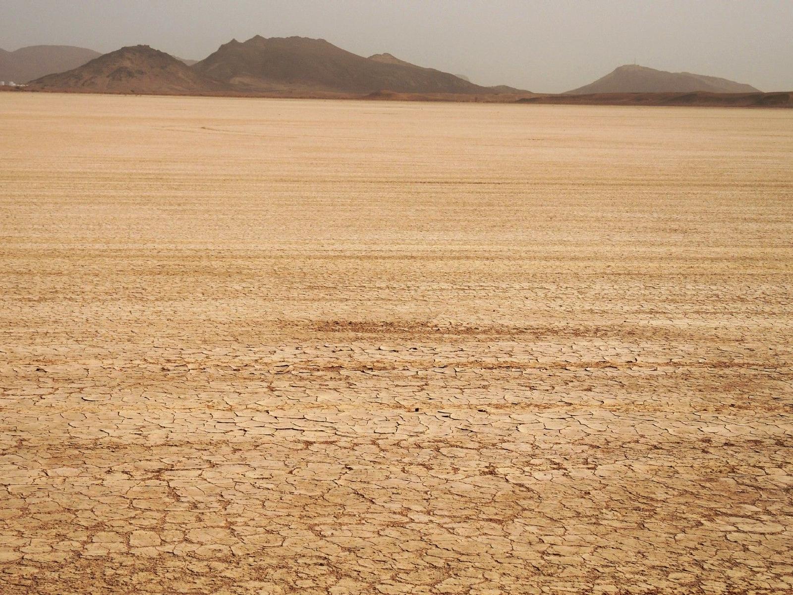
You take a stony trail along the Jbel Madouer Kbir and Sghir to reach Lake Iriqui which is located between the towns of Foum Zguid and M’hamid.