Jbel Aklim (2,531 meters)
Journey from Agadir: 4 hours
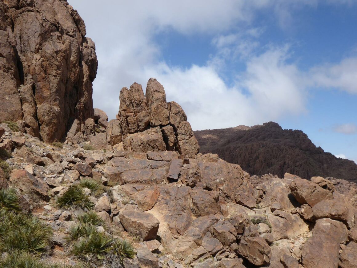
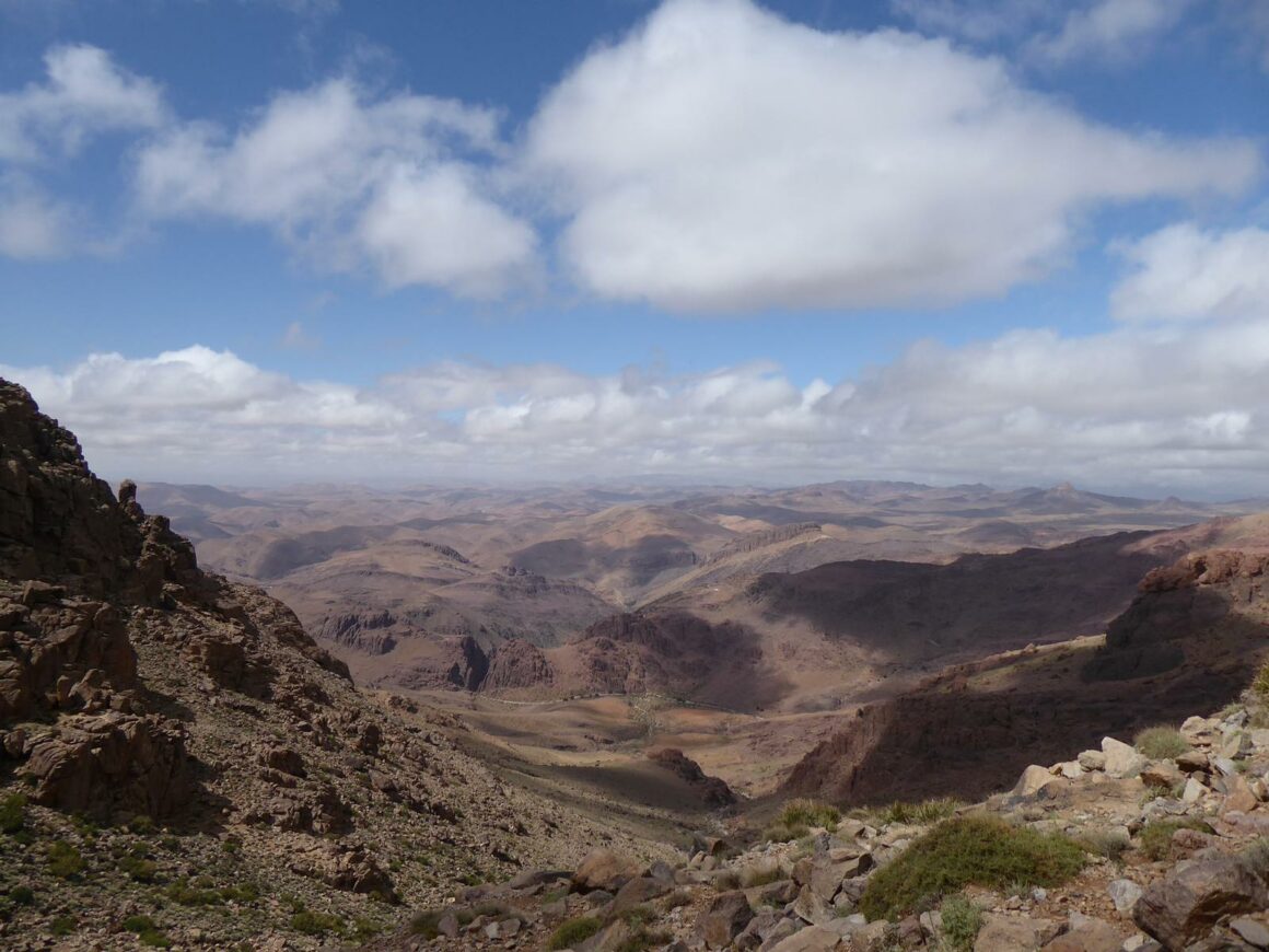
The summit of Jbel Aklim (30.123581, -8.284200) rises to 2,531 meters. It is one of the highest peaks in the Anti-Atlas. From the top, you can admire the High Atlas and the Jebel Siroua. To the north, the snow-capped peaks of the High Atlas immediately catch your eye.
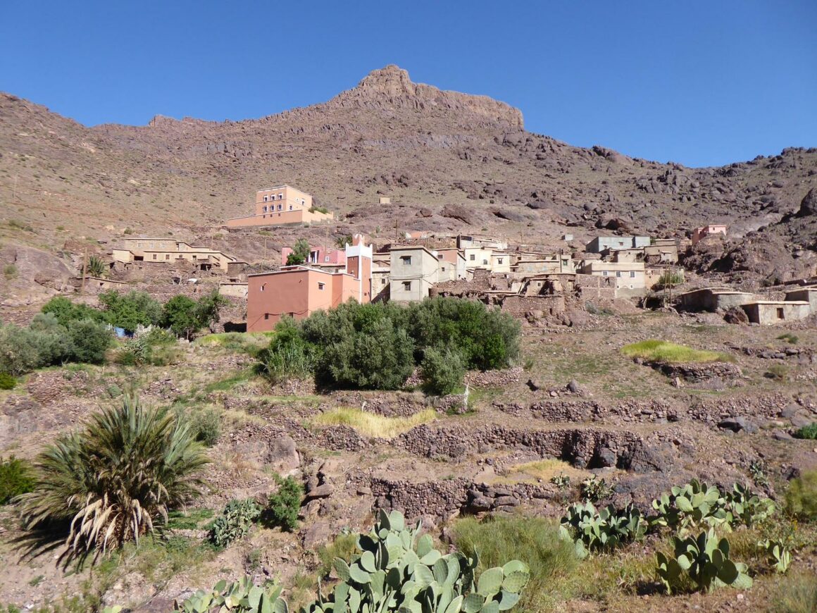
The land around Jbel Aklim is rocky but there are patches of greenery around the small villages and their water sources.
The climbs can be done by trekking over several days from the town of Igherm (with a guide) or by a day trek from the village of Tagdicht (further east).
This ascent from Tagdichte (30.094265, -8.309848) takes about 3 to 4 hours. You will find very few hikers. Please note that there are at least 3 different cities called Tagdicht (or Tagdichte) in the mountains of Morocco.
Day 1: Depart trekking from Igherm by the northeast, passing by the old copper mine, Amal and then to the village of Tagdichte.
Day 2: Ascent of Jbel Aklim and descent from the east for a bivouac above the village of Tagragra.
Day 3: Depart towards the southeast to Irtem then, to the west, following a river valley to a bivouac near the village of M’Dint.
Day 4: Depart westward towards the village of Ighir n Tizgui, then follow the course of the river and its basins towards the north to a bivouac.
Day 5: Follow the dry river bed west to Anammer’s olive groves and return to Igherm.
Guides – Natural Area
| Guide | Contact | |
| Ali BENZOUAA (FR-GER-AR) | Natural Area Guide | +212 678-528985 |
| Brahim IKNJTAOUN (FR-UK-AR) | Natural Area Guide | +212 696-276037 |
| Ahmed EL OMARY (FR-AR) | Natural Area Guide | +212 672-779936 |
| Nourdine ALHYANE (FR-AR) | Natural Area Guide | +212 617-030703 |
| Brahim BAHOU (FR-UK-AR) | Natural Area Guide | +212 615-728279 |
| Rachid OUBIH (FR-UK-AR) | Natural Area Guide | +212 611-161209 |


