JBEL SIROUA (3,305 meters)
Journey from Agadir: 4 hours
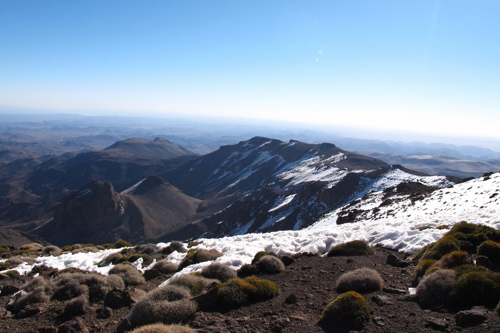
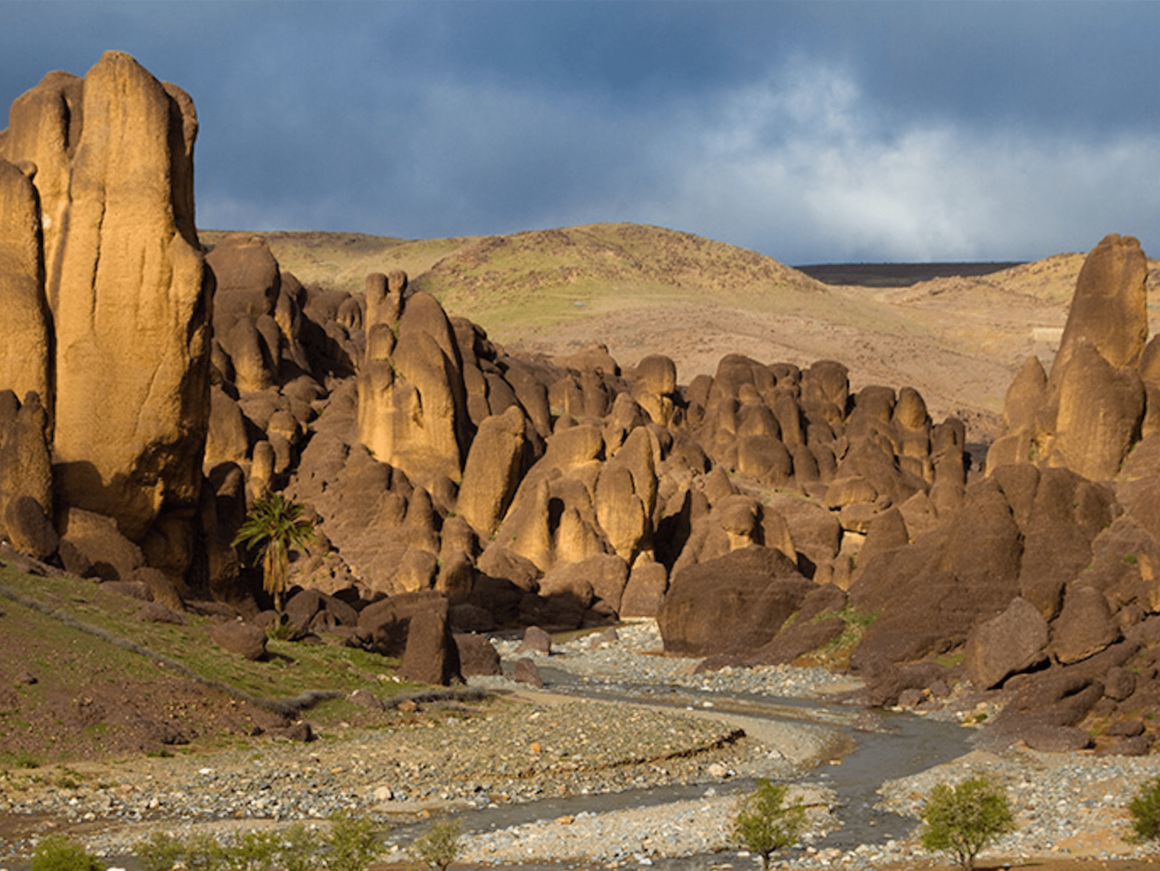
The Jbel Siroua (3.305 meters) is located south of the Toubkal Massif between the High Atlas and the Sahara. It is a chain of ancient volcanoes whose lavas, affected by erosion, form a unique lunar landscape.
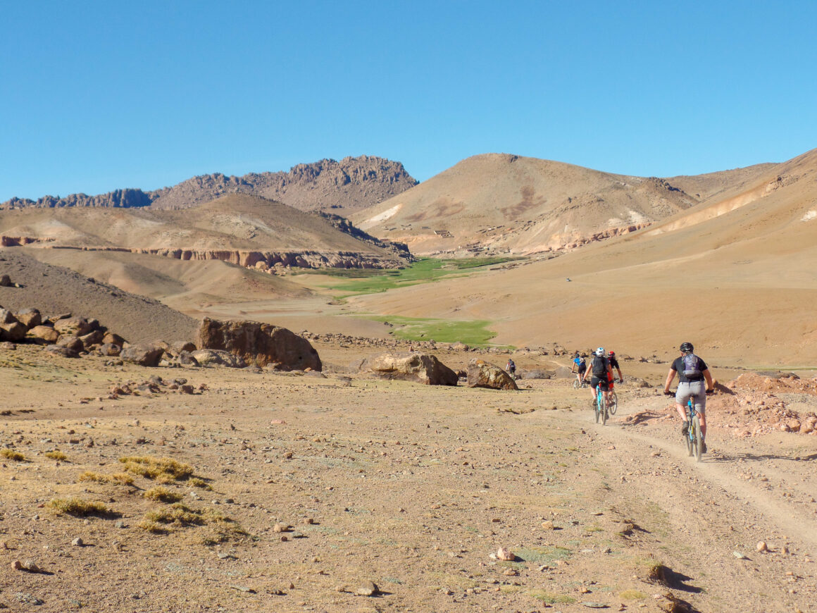
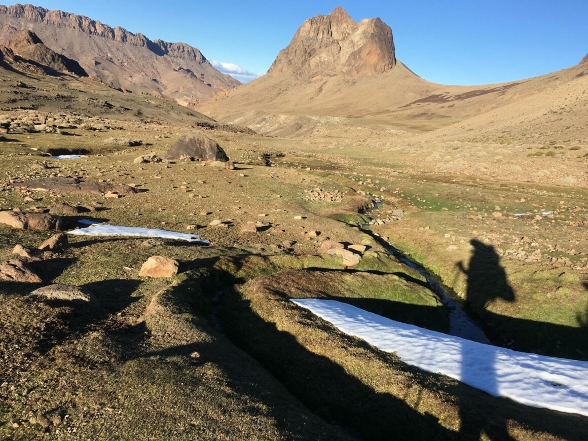
Trekking for several days in Siroua means choosing a magnificent route to discover an authentic Souss Massa.
Arid plateaus, green mountain pastures, black rocks, fortified villages, all the ingredients can be found on the slopes of Siroua.
How to get there:
From Agadir, take the N10 towards Taroudant, then turn left at Taliouine (30.529349, -7.907118) to join Askaoun (30.738310, -7.774983). Most of the hiking trails start from the village of Askaoun, an hour’s drive from Taliouine (Capital of Saffron) or from Anezal (30.757565, -7.289537) located on the RN10.
On the way back to Agadir, you have the possibility to go through the dams of Aoulouz (30.692891, -8.138788), it will be necessary to plan 2 hours 30 minutes of road until Taroudant where you can spend the night.
Activities:
- Trekking (On foot / MTB)
- 4×4 trails (Anezal => Askaoun)
- Discovery of Saffron – Taliouine
Guides – Natural Area:
| Guide | Contact | |
| Ali BENZOUAA (FR-GER-AR) | Natural Area Guide | +212 678-528985 |
| Brahim IKNJTAOUN (FR-UK-AR) | Natural Area Guide | +212 696-276037 |
| Ahmed EL OMARY (FR-AR) | Natural Area Guide | +212 672-779936 |
| Nourdine ALHYANE (FR-AR) | Natural Area Guide | +212 617-030703 |
| Brahim BAHOU (FR-UK-AR) | Natural Area Guide | +212 615-728279 |
| Rachid OUBIH (FR-UK-AR) | Natural Area Guide | +212 611-161209 |


