Toubkal National Park, the jewel of the High Atlas
Trip from Agadir: 4 hours 30 by car
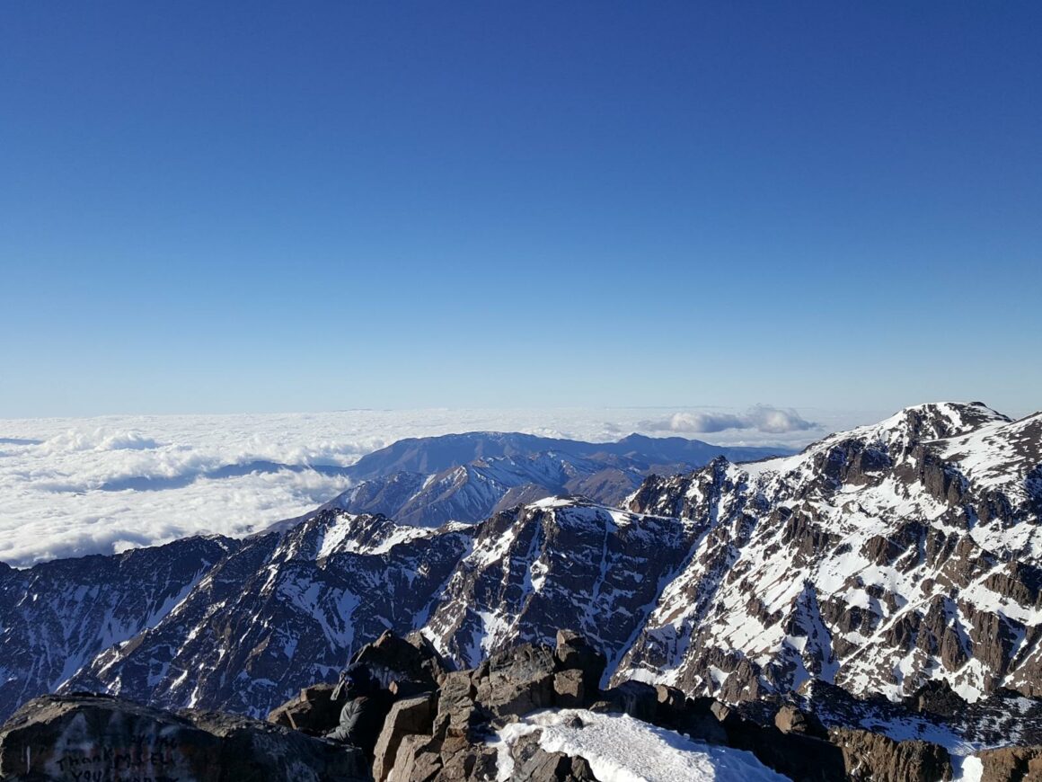
Located 150 km north-east of Taroudant, the Toubkal National Park encompasses the highest peaks in North Africa. Its impressive landscapes are a succession of long ridges and steep valleys with passes sometimes reaching more than 3000 meters.
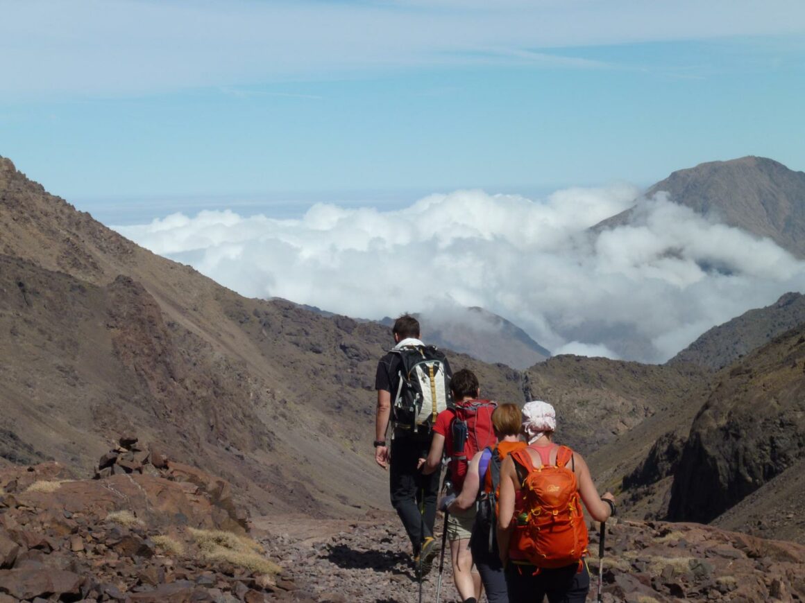
Go for a day or more to discover this exceptional natural environment …
First National Park created in 1942, in order to preserve the geological and landscape heritage, the fauna and flora. Toubkal Park covers a total area of 39,351 hectares bounded to the west by the N’Fis valley and to the east by the Ourika valley.
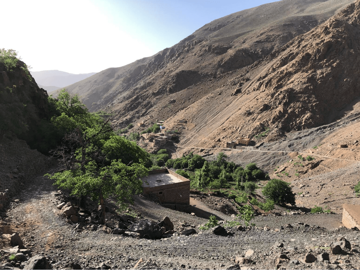
Accessible from the village of Amsouzart, the central part of the Toubkal National Park is certainly the most interesting to visit. This part of the High Atlas has high massifs culminating between 3,600 and over 4,000 meters above sea level as well as the high plateau of Tazaghart (3,995 m) and Lake Ifni (2,295 m).
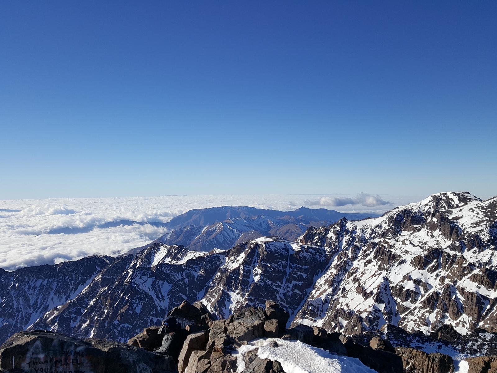
Reaching 4167 m at Jbel Toubkal, the highest point in North Africa, the park is spread over a great amplitude of altitude which gives it a very great geographical, geological, climatic and biological diversity.
The Toubkal National Park has 4 different bio climates: semi-arid, sub-humid, humid and very cold in the high mountains. Annual precipitation ranges from 550 mm (low altitude) to over 900 mm (high altitude), with regular snowfall varying in size and duration depending on the season and year.
The climate determines 3 different ecosystems:
- Forest formations (areas between 1,200 m to more than 3,000 m altitude),
- Wetlands (streams, wetlands, Lake Ifni)
- Asylvatic areas (high plateaus and slopes located above 2,400 meters in altitude in the North, and 3,000 meters in the South).
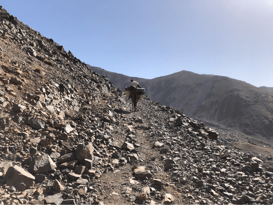
The landscape of Toubkal National Park is thus characterized by rarely sharp summits, wide plateaus, gigantic escarpments and valleys and gorges. The rocks of volcanic origin are remarkable: they are dark cracked and fragmented forming impressive scree slopes.


