Chtouka Aït Baha – tourism off the beaten track.
Journey from Agadir: 1 hour 25 mins / 75 km
The territory of Chtouka – Aït Baha is very close to Agadir and is delimited to the north by the plain of Souss, to the west by the Atlantic coastal area, to the south by the Oued Massa and in the east by the axis road Agadir – Tafraout.
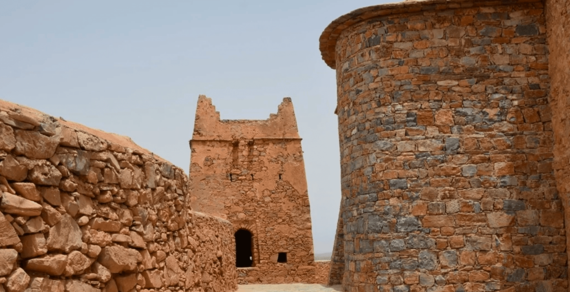
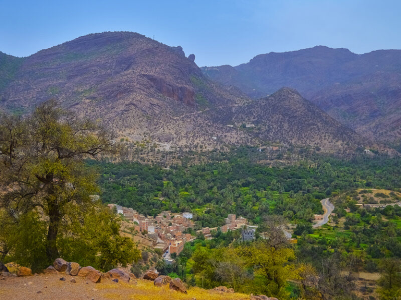
Discover the granaries and fortified kasbahs, the colorful rural souks, the Oasis of Targua N’touchka and cooperatives (argan or crafts). You are now spoiled for choice for a change in scenery.
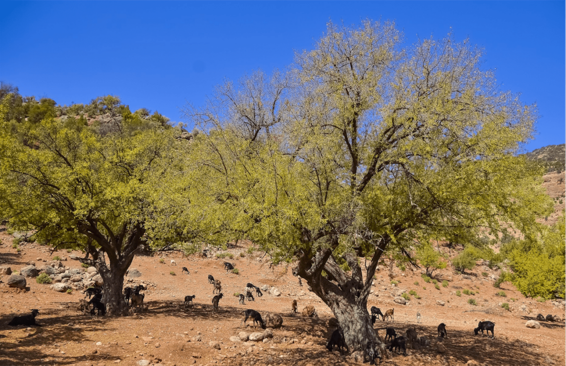
The Province therefore includes part of the Arganeraie Biosphere Reserve, in particular the area around Ait Baha which has one of the largest concentrations of argan trees.
It is around this city that you can find many cooperatives in which you will have to make a visit to understand the importance of this industry for the rural populations of the Arganeraie.
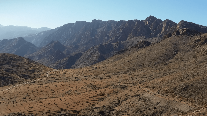
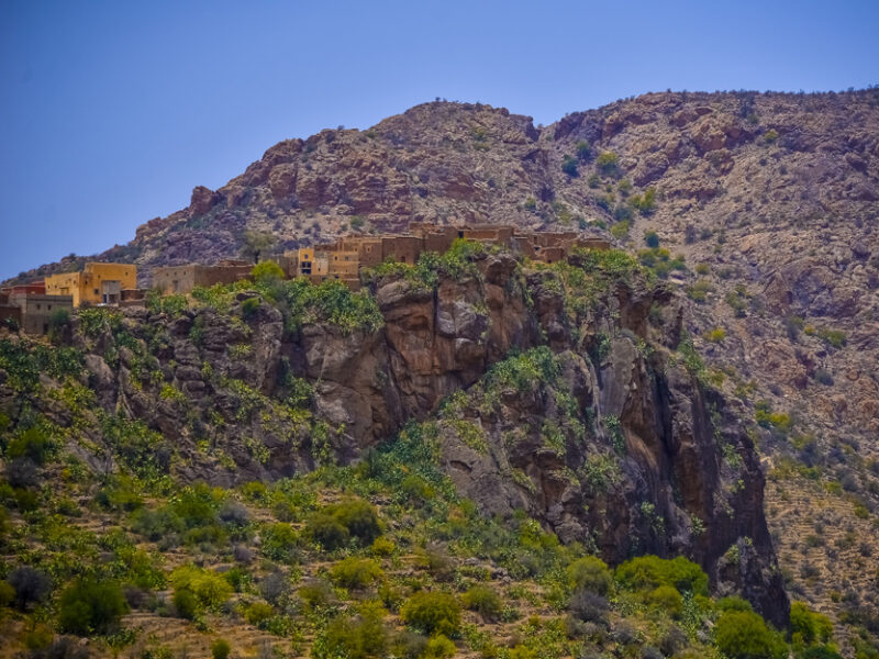
As you travel south along Route R105, the landscape becomes more and more hilly. This relief offers a large number of hikes, each more beautiful than the next (Ait Moussa- Targua N’touchka, Country of Ida Ougnidif, Visit of a fortified granary, …) Indeed the Province of Chtouka Ait Baha has many assets among which you will find the collective granaries or agadir / igoudar, real heritage treasures of the Souss Massa region.
The area is home to several hundred, some of which are still in working order. The rural souks including Souk Lkhmis Ida Ougnidif will disorient you and immerse you in the daily life of the inhabitants of the backcountry.
How to get there:
The town of Ait Baha (30.069424, -9.153236) is a good starting point for exploring the backcountry, and in particular, for discovering the fortified granaries (they are indicated on the map).


