70 kilometers northeast of Tata, the oases of Tissint and Akka N’ait Sidi, both located at the foot of Jbel Bani, will be very practical stops before the Iriqui National Park.
The Iriqui National Park is located between the dry bed of the Oued Draâ and the southern slopes of the Anti-Atlas, 140 km to the northeast of Tata and 60 km to the northeast of Tissint. The Park is accessible from the Foum Zguid Oasis.
A discovery tour of life in the oases of the Jbel Bani chain. A journey full of surprises and a great lesson in life. Aguinane, Tissint, Tata, Akka, Foum el Hisn, then the famous gorges of Ait Mansour.
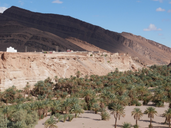
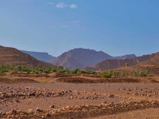
Accessible from Tata, the arid region of Bani is to the east of Souss Massa. It is bordered to the north by the Anti-Atlas and to the south by the Sahara. This region is dominated by a mountain range, the Jbel Bani.
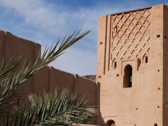
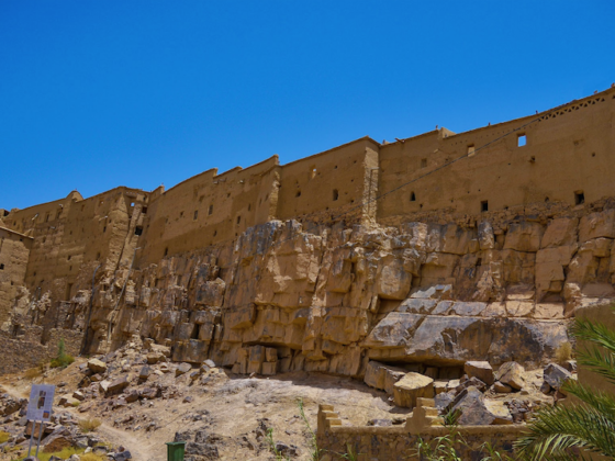
The commune of Tata has several ksours (fortified villages) such as Indfiane and Agadir Lehna. Around Tata, many visits (the famous granary of Ait Kine, in particular) are to be expected and can be reached within an hour’s drive …
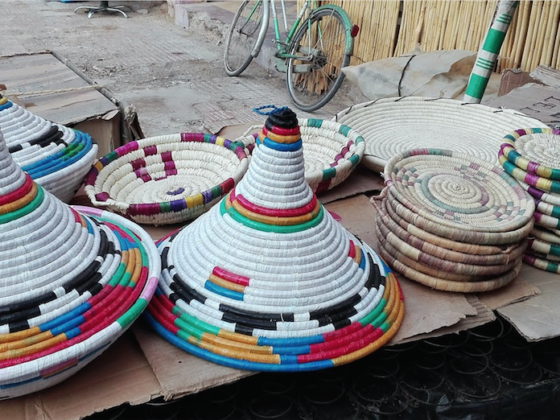
In Tata, an ancestral artisanal tradition is rooted in the population. Women in particular have a rich and varied artisanal know-how: weaving, pottery and basketry.
What are the outings to do around Tata? Rock engravings or a walk in the dunes? Hiking in the Jbel Bani or 4×4 trail? Discovery of oases or bivouac in the desert? You are spoiled for choices!
The cities of Tata and Akka are our next destinations. A trip off the beaten track and still very authentic. These two towns located on the Jbel Bani chain are gateways to the desert.
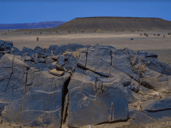
The province of Tata, and more precisely the territories occupied by the chain of Jbel Bani and Oued Draa, contains more than 80 rock engraving sites. It is by walking or asking in the villages crossed that you will be able to see rock engravings.